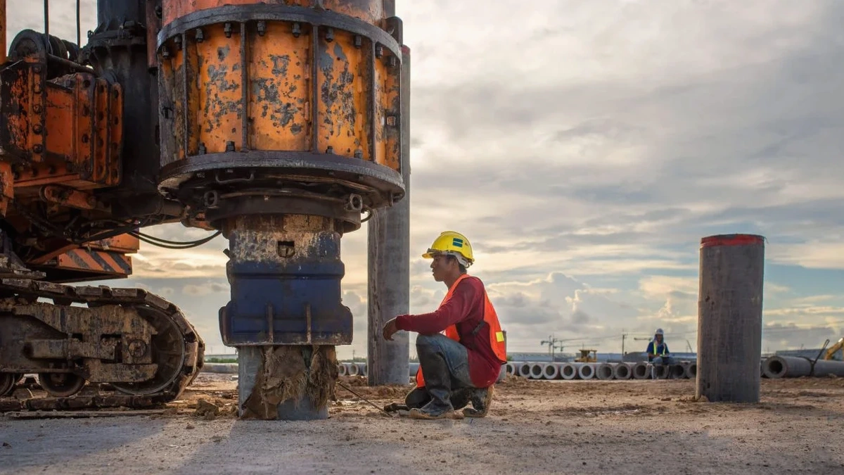
A recent project on Deiniol Road hit a snag. The ground investigation logs showed glacial till, but the client needed a Site Class for a three-storey extension. Standard borehole data can't give you shear wave velocity. So we mobilised a 24-channel seismograph and ran an MASW line across the footprint. Within three days, the contractor had VS30 values and a clear profile to depth. Bangor sits on complex Quaternary deposits over Lower Palaeozoic bedrock. The glacial history left a mix of stiff boulder clay, sands, and soft silts in buried channels. That variability plays havoc with seismic amplification. Without a direct measurement of Vs, any seismic design relies on generic assumptions that can overestimate or underestimate ground motion. The seismic refraction method works well for bedrock depth, but when you need a true Vs profile for site classification, MASW is the only cost-effective surface wave technique that satisfies the requirements of BS EN 1998-1:2004.
VS30 is not a generic table lookup in Bangor. The glacial stratigraphy demands a measured shear wave profile for any Eurocode 8 design.
Method and coverage
The bedrock beneath Bangor belongs to the Ordovician and Cambrian sequences of Snowdonia, with metasediments and volcanics outcropping on the hills to the east. Overlying this, Pleistocene ice sheets dumped lodgement till, glaciofluvial sands, and laminated clays. The superficial thickness varies from less than two metres near the Menai Strait to over 30 metres in buried valleys. This geology creates strong impedance contrasts that MASW picks up clearly. Our acquisition uses a 24- or 48-channel array with 4.5 Hz geophones and a sledgehammer source, recording Rayleigh waves and processing the dispersion curve through full-wavefield inversion. The output is a 1D Vs profile per shot gather, which we combine into a 2D cross-section. From that, we calculate VS30 following the time-averaged method of BS EN 1998-1 §3.1.2. For sites near the Strait, we often encounter a shallow water table that dampens high-frequency surface waves. In those conditions, we extend the array length to improve resolution at depth and run additional walkaway tests to confirm the fundamental mode.
Regional considerations
Bangor expanded rapidly during the Victorian slate-export boom, pushing terraced housing onto steep slopes and reclaimed ground near the harbour. Much of the older building stock predates modern seismic provisions. The 1984 Llŷn Peninsula earthquake, magnitude 5.4, caused minor damage in the city and reminded engineers that intraplate seismicity in North Wales is real. If you are designing a new structure or assessing an existing one, using an assumed VS30 from the BGS superficial map can misclassify the site. A soft silt lens five metres down, invisible on a trial pit log, can drop VS30 by 100 m/s or more. That shifts the design spectrum and changes the seismic base shear. Running an MASW survey costs a fraction of the structural penalty you'd pay for overdesign, and it protects against the liability of underdesign. For schools, healthcare buildings, and any Importance Class II or above, a measured VS30 is the only defensible approach under Eurocode 8.
Q&A
What does an MASW survey cost in Bangor?
A standard single-line MASW survey in the Bangor area typically ranges from £1,170 to £2,160, depending on array length, number of shots, and whether we need to combine it with other geophysical methods. We provide a fixed-price quote after reviewing the site location and target depth.
How long does an MASW survey take on site?
A single 47-metre spread with 24 geophones takes about two to three hours to lay out, shoot, and pack up. If we run multiple lines or extend the array for deeper targets, plan for a full day on site.
Can you run MASW on a small urban lot in Bangor?
Yes. We use a 24-channel array with a 2-metre geophone spacing, needing only about 50 metres of clear ground. For tighter spaces, we can reduce spacing and adjust the processing to maintain depth penetration.
What is the difference between MASW and seismic refraction for site classification?
Seismic refraction gives P-wave velocity and is useful for mapping bedrock depth. MASW measures shear wave velocity directly, which is what Eurocode 8 requires for VS30 calculation. The two methods are complementary and we often run them together.
Do you need access to both ends of the line?
We need access along the entire spread to plant geophones and generate the shot. The source end needs enough swing room for a sledgehammer or weight drop. We don't need access beyond the ends of the array. For sites with limited space, contact us early and we can design a non-standard geometry.